The following screenshots illustrate the main features of the map.
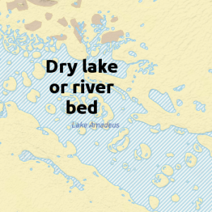
A lake or river that is dry most of the time. The blue striping indicates that the lake or river is usually dry, and will generally only have water after significant rain.
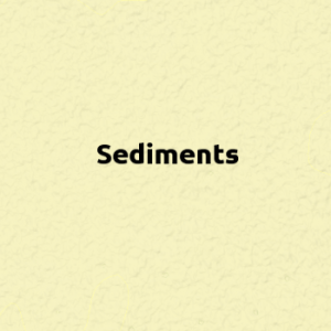
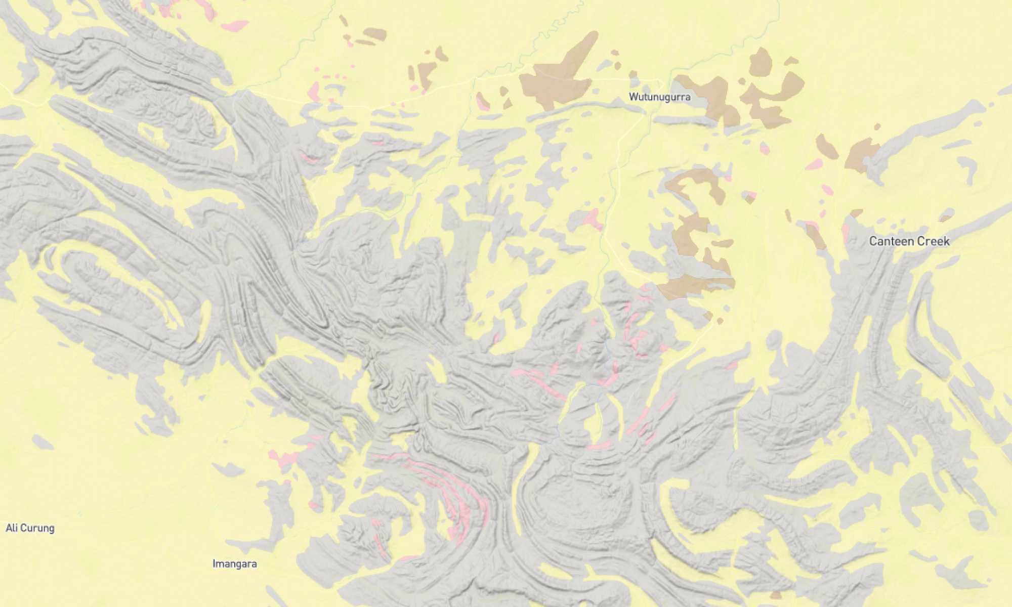
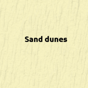
All Cenozoic and Quaternary sediments. Australia is a very eroded continent, thus a large part of its surface is covered with sediment. For example, 42% of South Australia is covered by sand plains and dunes. This category includes a large number of other sediment types including river, lake and estuarine deposits, soft limestones, colluvium (deposits that have slid down a slope), black soil plains, bauxite, silcrete, laterite, peat and glacial deposits. Sand dunes are common in dry country and distinguished by the patterning shown below.
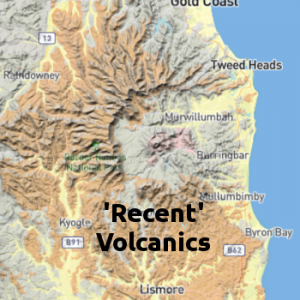
Cenozoic and quaternary volcanics, mainly basalts are indicated with a rusty colour. These are only found in Eastern Australia and are recent enough that you can often make out the shape of the original volcano. The screenshot above shows the remains of an old volcano and the caldera. The basalt soils formed from these rocks include prime agricultural land – eg. Don and Sassafras in Tasmania, the Darling Downs in Queensland, and the Liverpool Plains of NSW.
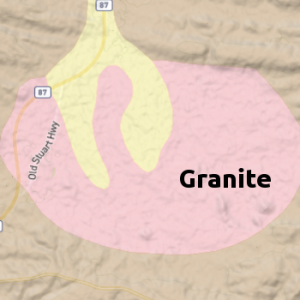
Pink colouring is used to indicate granite. This is a rock composed mainly of light coloured quartz and feldspar crystals and forms distinctive rounded outcrops. The screenshot above is of the Karlu Karlu (Devils Marbles) Conservation Reserve.
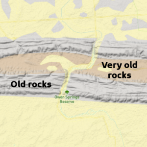
The grey colouring indicates paleozoic and mesozoic sedimentary rocks, volcanics and metamorphic rocks. Fossils can be found in the sedimentary rocks, in the right places. Usually it is best to look in shales and siltstones, rather than sandstones or conglomerates.
The brown colouring indicates ancient archean and proterozoic sedimentary rocks, volcanics and metamorphic rocks. Because of their extreme age, it is very rare to find fossils, but there are a very small number of exceptions, for example the famous Ediacaran fossils of South Australia.
Note that the geology boundaries are not absolutely accurate. With pre-GPS data, the boundaries can be out by as much as a kilometre, although boundaries are generally accurate to 100 metres or better.