#1. Overview of Australian Geology Travel Maps (16 mins)
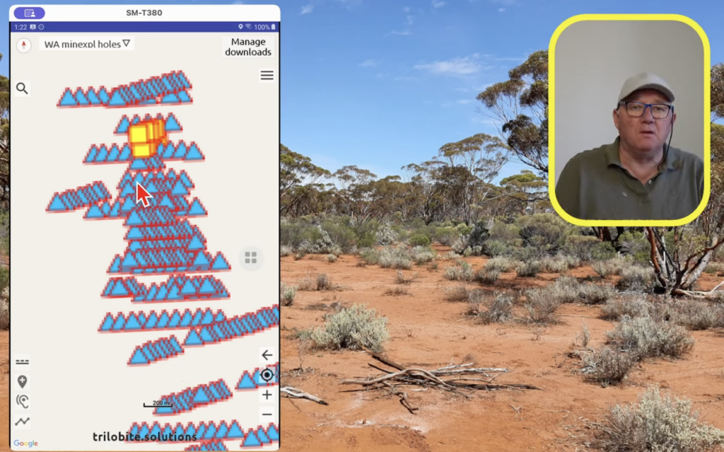
#2. Use overlays in Australian Geology Travel Maps (6 mins)
Important functionality not covered in the video above.
#3. Transfer your trails to another phone (4 mins)
Use this technique to BACKUP your trails and locations to your email system, also.
#4. Import trails & locations from Google Earth (4 mins)
Also shows how to create trails and locations in Google Earth
#5 a) Use QGIS to create satellite imagery for offline use (first 8 mins)
b) Create custom maps from WMS feeds (last 5 mins)
XYZ URL for google satellite imagery: https://mt1.google.com/vt/lyrs=y&x={x}&y={y}&z={z}
Choose a small area: eg. 32km x 32km
Display scale bar: View -> Decorations -> Scale bar
Test your .mbtiles file by opening it with QGIS – not Maptiler.
You can now also download satellite imagery using the ‘Download satellite imagery‘ menu option in the Trilobite app.
WMS URLs for better aerial imagery (zoom 3 to 17+):
WA (Landgate locate) – best available aerial imagery for WA
https://services.slip.wa.gov.au/public/services/SLIP_Public_Services/Locate/MapServer/WMSServer
To preview this in a web browser, go to https://maps.slip.wa.gov.au/landgate/locate/
VIC (basemap) – sometimes better than google satellite for VIC
https://base.maps.vic.gov.au/service?service=wmts&request=getCapabilities
NSW (six) – sometimes better than google satellite for NSW
https://maps.six.nsw.gov.au/arcgis/services/public/NSW_Imagery/MapServer/WMSServer
Individual topo sheet maps for Australia (better detail than WMS topo)
Browse to Geoscience Australia 1:250,000 topographic map index using your computer
Download either Ecw or Geopdf (not pdf) files for your area of interest
Open ECW’s and Geopdf’s in QGIS and create a .mbtiles file as described in the video, and import into the Trilobite app.
1:100k and 1:50k topo sheets are also available via the link above.
WMS URLs for topo maps (zoom 3 to 15+):
Choose a small area: eg. 200km x 200km
QLD topographic
https://spatial-gis.information.qld.gov.au/arcgis/rest/services/Basemaps/QldMap_Topo/MapServer/WMTS/1.0.0/WMTSCapabilities.xml
NSW topographic
https://maps.six.nsw.gov.au/arcgis/rest/services/public/NSW_Topo_Map/MapServer/WMTS/1.0.0/WMTSCapabilities.xml
VIC topographic (‘cartographic’)
https://base.maps.vic.gov.au/service?service=wmts&request=getCapabilities
TAS topographic
https://services.thelist.tas.gov.au/arcgis/rest/services/Basemaps/Topographic/MapServer/WMTS/1.0.0/WMTSCapabilities.xml
SA topographic
https://basemap.geohub.sa.gov.au/server/rest/services/BaseMaps/Topographic_wmas/MapServer/WMTS/1.0.0/WMTSCapabilities.xml
#6. Convert a way-points file to GeoJSON (7 mins)
You can also convert a Shape file, GPX, KML or Mapinfo file to Geojson, using this technique – just a bit easier.
eg. download the ESRI shape file for Victoria’s crown land dataset and save to .geojson for maximum area of 50 km by 50 km
#7. Copy your own .mbtiles map to your Android phone/tablet from your computer
With increasing security in recent Android versions, it is no longer possible to copy .mbtiles files to the app via a USB cable. Instead, on your computer upload your .mbtiles file to Google drive. Email the file’s Google drive link to yourself. When you tap on the link on your phone, the preinstalled ‘Google drive‘ app will download the file and you can then open it with the Trilobite app.
If you need to open the downloaded .mbtiles file with a file manager, install File Manager Plus and use this (especially Samsung owners).
#8. Copy your own .mbtiles map to your iPhone/iPad with a USB cable (3 mins)
In Mac OSX 10.15 and newer, use Finder –
– in the left pane, click Locations->Show, then click the Files tab
#9. Run ‘GPS status & toolbox’ on Android (3 mins)
Also contains a compass. Android install
Some great tips from Bruce, the ‘Part Time Prospector’ (33 mins) ..